
Mesquite, Nevada and the Tri-State area
Trails all around Mesquite, Nevada
Mesquite Trails maps the UTV and OHV trails around Mesquite. It is the trail mapping partner of All Around Mesquite: History, Trails & Destinations, Dustin Charles Berg's book about Mesquite, the Virgin Valley, Moapa Valley, Lincoln County, the Arizona Strip and southern Utah.
Planning a ride? Start with Know before you go.
of primitive, designated routes in Gold Butte National Monument, south of Mesquite.
Source: BLM (opens in a new tab)
of trails in the Logandale Trails System in Moapa Valley, for a variety of OHV types.
Source: BLM (opens in a new tab)
in Grand Canyon-Parashant National Monument on the Arizona Strip.
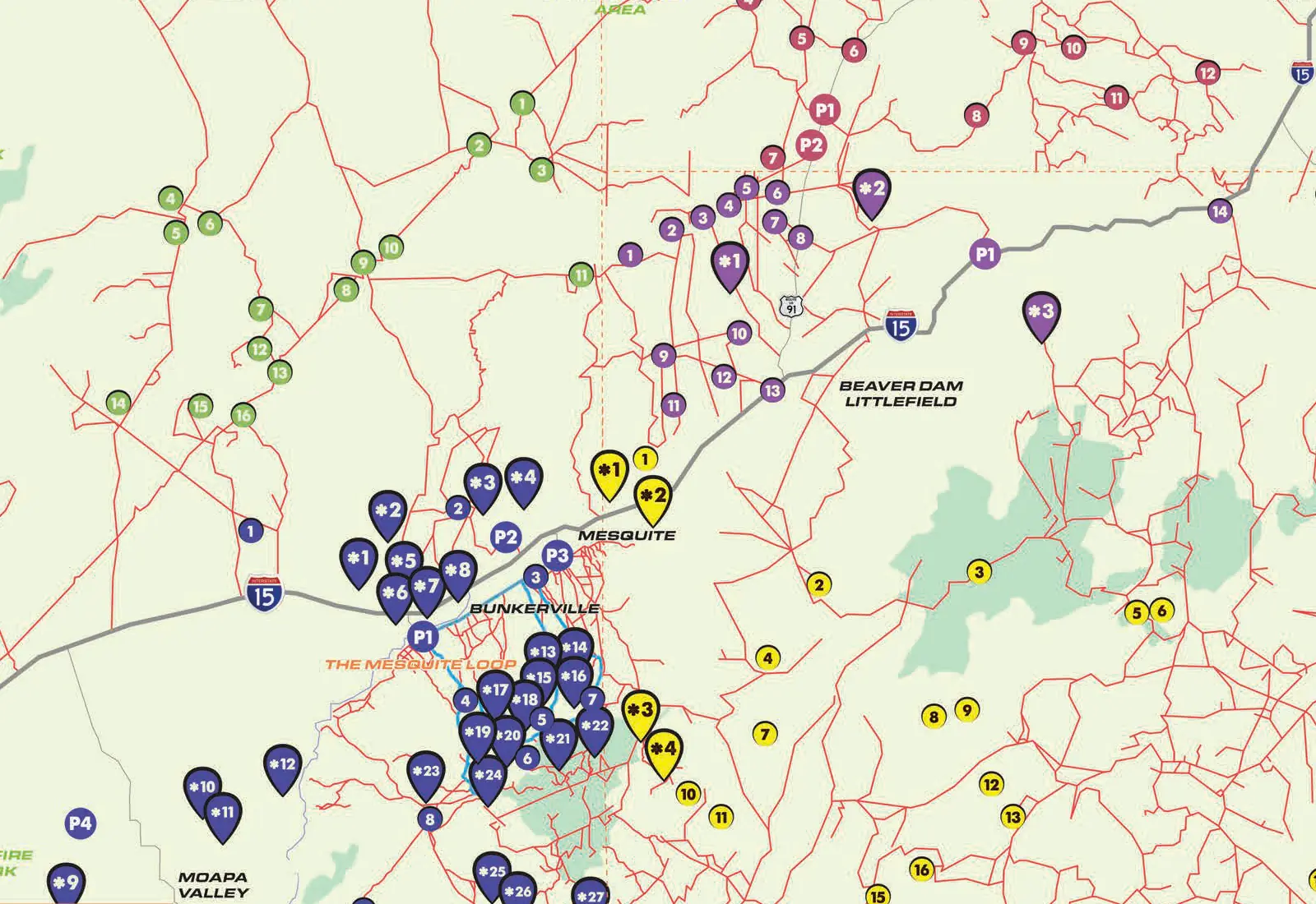 Open the map page
The Comprehensive Guide & Map
The Mesquite Trails map
The poster map that goes with the book: trailheads and parking, points of interest, and road and trail intersections across the Tri-State area, from Caliente and Moapa Valley to St. George and the Grand Canyon-Parashant National Monument. It carries the Mesquite Trails mark.
- 8 trailheads and parking areas, among them the Riverside OHV Staging Arena and the Logandale Trails System
- 56 numbered points of interest, color-coded by area, from Whitney Pocket to Toroweap Overlook
- More than a hundred numbered road and trail intersections
Trails and destinations by region
Five regions, one shared history
The book's trails section, "OHV Information & Trails and Destinations by Region" (from page 93), takes the country one region at a time: its introduction, its downtown destinations and historical markers, and its trails and scenic destinations.
Region A, page 104
Mesquite
Gold Butte National Monument, the Virgin Mountains and the Virgin Mesa, and the city's own OHV staging areas.
Trails in MesquiteRegion B, page 120
Moapa Valley
The Logandale Trails System, Valley of Fire and the story of St. Thomas.
Trails in Moapa ValleyRegion C, page 130
Lincoln County
North to Caliente: the map marks Pine Canyon Dam, the Elgin Schoolhouse and the Walter Ray Memorial.
Trails in Lincoln CountyRegion D, page 137
Arizona Strip
Grand Canyon-Parashant, Pakoon Springs, the Grand Gulch Mine and Mount Trumbull.
The Arizona StripRegion E, page 152
Southern Utah
St. George, Beaver Dam Wash and the Red Cliffs, with trailheads off Old Highway 91.
Trails in Southern Utah"There is a lot of shared history with Virgin Valley, Moapa Valley, Lincoln County, the Arizona strip and even southern Utah. I felt like there needs to be something that tells the whole story."
Start in town
Ride out from Mesquite
"Mesquite is an OHV/ATV-friendly city, with its city roads open to street-legal off-road vehicles, making it ideal for enthusiasts who enjoy thrilling off-road adventures."
The City of Mesquite lists two OHV staging areas, both open every day during daylight: the Riverside OHV Staging Arena at 680 Riverside Rd and the Championship Way OHV Staging Area at 1350 World Champion Way.
The book
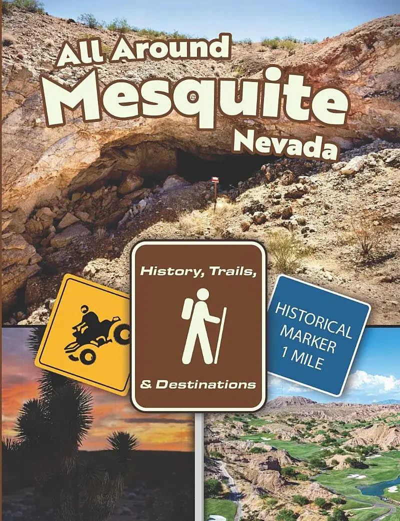
All Around Mesquite: History, Trails & Destinations
"Embark on a captivating journey through Mesquite, Nevada, and the expansive Tri-State area, known for its vast nature, unique culture, and historical landmarks. Explore the Arizona Strip, Southern Utah, the resilient Virgin River Valleys, and historic Lincoln County, NV."
From the back cover. By Dustin Charles Berg, published November 2023 by Desert Covenant Books LLC: about 200 pages, as a Kindle eBook and a print edition. Special autographed copies are available by request.
Next door
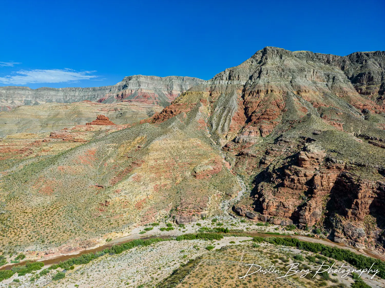
The Arizona Strip
The book's fact sheet: "The nearby Arizona Strip has 3.2 million acres of land north of Grand Canyon, is landlocked by the rest of the state of Arizona and Southern Utah." The Bureau of Land Management, which manages its public land from St. George, names Mesquite as the closest town to the west.
Dustin's free guide to the Strip, The Arizona Strip (opens in a new tab), covers its communities, landmarks and routes.
Plan the ride
Know before you go
This is remote country. Three things the agencies that manage it ask of every rider:
Register the OHV
Nevada requires OHVs to be registered, with exceptions; a vehicle registered in another state may be in Nevada for not more than 15 days without it.
Bring the right vehicle
"All roads within the Monument are primitive and may require the use of high-clearance and 4 wheel-drive vehicles," says the BLM of Gold Butte.
Plan for no signal
Around Gold Butte, mobile phone coverage is unreliable or non-existent; in Grand Canyon-Parashant only satellite phones and satellite messengers work.
Be the first to know
Sign up for news, upcoming events and new release information.
The sign-up list is where word goes out first: a signing, a talk, a new edition or a new release from the author of All Around Mesquite. You can also join the All Around Mesquite Facebook group (opens in a new tab), where readers share pictures and stories from the trails.