
Region D in the book, from page 137

The Arizona Strip, next door to Mesquite

North of the Grand Canyon and south of Utah, the Arizona Strip begins at Mesquite's back door. The BLM's Arizona Strip District covers more than 2.7 million acres of remote public lands there, and names Mesquite as the closest town to the west.

What the book and the BLM say

Remote country, a short drive away

"The nearby Arizona Strip has 3.2 million acres of land north of Grand Canyon, is landlocked by the rest of the state of Arizona and Southern Utah."

The Did You Know? fact sheet in All Around Mesquite

The Bureau of Land Management: "As one of the most rugged and least developed regions in the lower 48 states, the Arizona Strip region requires careful planning and preparation. Visitors should be ready for remote backcountry travel on unimproved roads, limited services, and potentially extreme weather conditions." Its public lands information center is in St. George, at 4001 East Aviator Drive, for maps, permits and recreation information.

In the book, the Strip is Region D of the trails section (from page 137), and the history has its own chapter, "The Evolving Frontier: Arizona Strip in the Modern Era."

Source: BLM, Arizona Strip District (opens in a new tab)

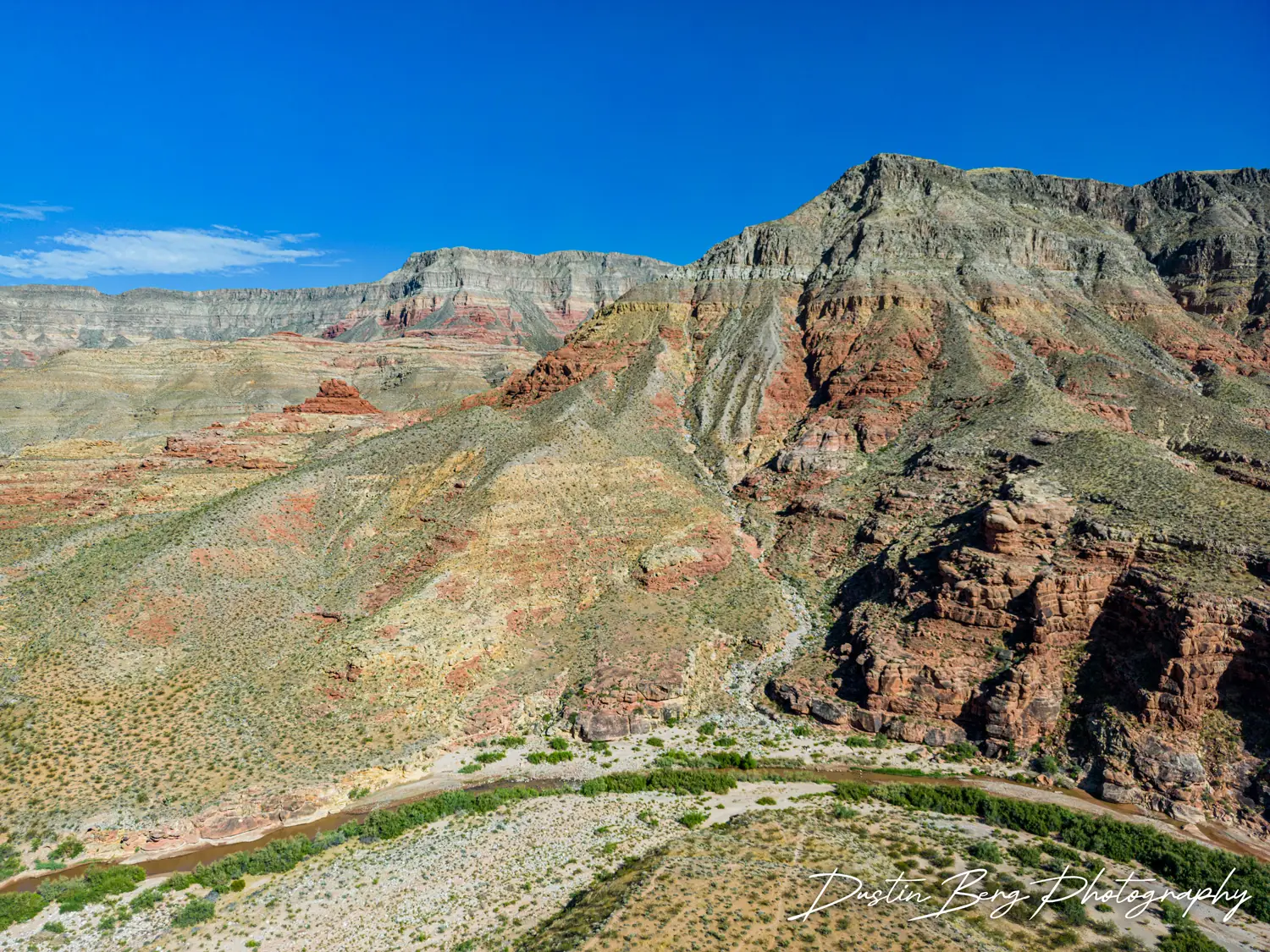
Aerial view of the Virgin River winding past layered red, gray and green desert mountains
The Virgin River Gorge from the air. Photo: Dustin Berg Photography.

On the map

The Comprehensive Guide & Map marks the Strip in yellow:

  • MSR Sign - Airport Outlook
  • Tube Crossing I-15
  • Lime Kiln Canyon Climber's Camp
  • Red Pockets Mountain
  • Grand Gulch Mine
  • Point Sublime Loop Trail
  • Fire Point Loop
  • Trumbull Cemetery
  • Mount Trumbull Historical Schoolhouse

and Grand Canyon-Parashant National Monument in teal:

  • Tassi Ranch
  • Hidden Canyon / Virgin Mountains
  • Bar 10 Ranch
  • Toroweap Overlook
  • Twin Point Overlook
  • Kelley Point Overlook

Places on the Strip

What the agencies say, with their pages

The National Park Service on Parashant: "USE ROADS AT YOUR OWN RISK. Roads into the Arizona Strip are all unpaved and lead to ISOLATION." Read the linked page before every trip.

National Park Service and BLM

Grand Canyon-Parashant National Monument

Set aside by Presidential Proclamation on January 11, 2000: 1,048,321 acres that the National Park Service and the Bureau of Land Management manage together. "Parashant is a rugged and wild land," and the NPS is plain about what it takes: "All roads are unpaved and of varying difficulty. While not prohibited, cars, minivans, crossover SUVs, and RVs are not the right vehicles for travel in this monument." A high clearance 4x4 with tires designed for off-pavement use is "the most important safety item you need." There is no cell service; only satellite phones and messengers work. There are no designated campgrounds, only dispersed campsites.

24-hour emergency or missing persons: (702) 293-8998 (Lake Mead dispatch). Information: (435) 688-3200, the Public Lands Visitor Center in St. George.

Sources: NPS, management (opens in a new tab); NPS, plan your visit (opens in a new tab); NPS, vehicle safety (opens in a new tab)

Grand Canyon-Parashant in the Arizona Strip guide (opens in a new tab)
National Park Service, from Mesquite

Pakoon Springs and the historic Tassi Ranch

The book's fact sheet: "Nearby Pakoon Springs, just 30 miles south of the city once held not only 500 ostriches, but a real-life alligator in the desert."

The NPS describes a 4x4 loop into the Grand Wash that "starts and ends just south of Mesquite": I-15 Exit 112 onto Riverside Road (Hwy 170), across the Virgin River, right on Gold Butte Road for 18.2 miles to Whitney Pockets, then BLM113 southeast across the Arizona line into the Grand Wash, where "Expect deep sand in this area. Four wheel drive is necessary." It is "a great 4x4 drive from October - April" and "not recommended in summer due to extreme temperatures often in excess of 110 degrees Fahrenheit." Fill the tank in Mesquite, carry several gallons of water, and boil spring water before drinking it. Watch for desert tortoises on the road.

Sources: NPS, Pakoon Springs and Tassi Ranch (updated December 2020) (opens in a new tab); NPS, scenic drives (opens in a new tab)

National Park Service

Grand Gulch Mine

The ruins of a copper mining operation, yellow marker 5 on the map. From St. George the drive is about 3 hours one way; "All high clearance 4x4 vehicles should be able to reach this site most of the year," except after winter snow and from July to September, when flash floods in upper Pigeon Canyon can wash the road out. Collecting is not allowed.

Sources: NPS, Grand Gulch Mine (updated December 2020) (opens in a new tab); NPS, scenic drives (opens in a new tab)

National Park Service

Mount Trumbull Scenic Loop

"One of the most popular backcountry unpaved drives in the region," from St. George to Mt. Trumbull and Toroweap, ending at Pipe Spring National Monument: about 150 miles of unpaved roads, for a high clearance vehicle with all-terrain tires and a full tank. No gas or services after St. George until Arizona Highway 389 or Colorado City. The replica Mt. Trumbull Schoolhouse, with exhibits inside, is on the way; the map marks the Mount Trumbull Historical Schoolhouse and the Trumbull Cemetery.

Source: NPS, Mount Trumbull Scenic Loop (opens in a new tab)

Mount Trumbull in the Arizona Strip guide (opens in a new tab)

National Park Service, Grand Canyon

Toroweap Overlook (Tuweep)

Toroweap Overlook "offers a dramatic view of the Colorado River with a sheer drop of 3,000 vertical feet." Grand Canyon National Park requires an advance day or backcountry permit, a park pass, photo ID and a highway license plate, none of them sold on site; "Highway license plate and insurance required" for every vehicle, 22 feet long at most. No water, gas, food, lodging, Wi-Fi or cell service. Teal marker 4 on the map.

Source: NPS, Tuweep (opens in a new tab)

Toroweap in the Arizona Strip guide (opens in a new tab)

BLM, Virgin River Gorge

Virgin River Canyon Recreation Area

Along Interstate 15 about 20 miles northeast of Mesquite and 20 miles southwest of St. George, from the Cedar Pocket Exit (mile post 18). A campground of 108 sites (some by reservation on recreation.gov), day use in daylight hours, and trails to the Virgin River, including the 0.1 mile River Trail and the paved 0.4 mile Canyon Overlook Trail. The Paiute Wilderness and the Beaver Dam Mountains Wilderness surround it. Day-use and overnight fees apply; see the BLM page.

Source: BLM, Virgin River Canyon Recreation Area (opens in a new tab)

The Virgin River Gorge in the Arizona Strip guide (opens in a new tab)

Dustin's guide to the Strip

The Arizona Strip

thearizonastrip.com (opens in a new tab) is Dustin Berg's free, continually updated web companion to the book: the communities, landmarks and routes of the Strip and its gateway towns, from Mesquite and Beaver Dam to Colorado City, Fredonia and Kanab. In its own words: "Where the book is a keepsake history, this site is the practical, evolving field guide."

Its Recreation page sends riders back here: "Visit our partner company's website at www.mesquitetrails.com to gain insights, tips, and detailed information about these captivating trails in the region."

Sources: The Arizona Strip, About (opens in a new tab); The Arizona Strip, Recreation (opens in a new tab)

Start reading there

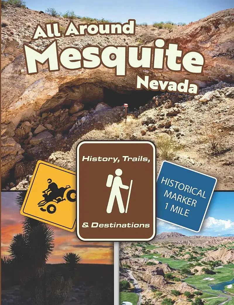
The cover of All Around Mesquite, Nevada: History, Trails & Destinations

The book

The Strip in the book

Region D of the book's trails section, from page 137: the Strip's introduction, its downtown destinations and historical markers, and its trails and scenic destinations.