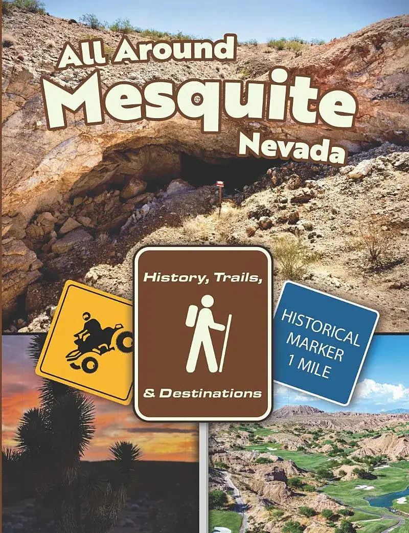
The book takes the country the same way: Mesquite, Moapa Valley, Lincoln County, the Arizona Strip and southern Utah. Here is each region as the map marks it, with what the agency that manages the land says and a link to its page.
Where these facts come from. Trail and place facts here come only from the agencies that manage the land (the BLM, the National Park Service, Nevada State Parks and the City of Mesquite) and from the book, each with a link. Roads, rules, hours and fees change: check the linked page before you go, and read Know before you go.
Region A
Mesquite and the Virgin Valley
In the book from page 104
In the book, the first region: Mesquite's downtown destinations and historical markers, then its trails and scenic destinations. Here: the city's staging areas, Gold Butte, the Virgin Mountains and Tri State Monument.
City of Mesquite
The city's OHV staging areas
The city lists two places to stage a ride, both open Sunday through Saturday during daylight: the Riverside OHV Staging Arena, 680 Riverside Rd, and the Championship Way OHV Staging Area, 1350 World Champion Way. Its parks number is (702) 346-8732. The map marks the Riverside arena as trailhead P3.
"Inside the rugged 296,937-acre Gold Butte National Monument is an extraordinary variety of pre-historic, historic, geological, and biological treasures," the BLM writes. "Over 300 miles of primitive, designated routes provide the public access to a variety of these features. The Monument is remote and offers few amenities or services."
Getting there. From Interstate 15, Exit 112 (State Route 170), about 3 miles south to the Gold Butte Backcountry Byway (Gold Butte Road), then about 12 miles to the monument boundary. The nearest communities are Mesquite and Bunkerville.
Whitney Pocket, about 20 miles from where State Route 170 meets Gold Butte Road, is the end of the pavement and "the gateway to the heart of the Monument": primitive camping, hiking among the sandstone, or the start of an OHV ride. No services or facilities.
Cabin Canyon, about 9 miles south of Mesquite in the Virgin Mountains, is a primitive camping area at about 4,000 feet among pinyon and juniper. Its road, White Rock Road, is graded gravel but subject to flooding and erosion after storms or snow thaw.
The roads. "All roads within the Monument are primitive and may require the use of high-clearance and 4 wheel-drive vehicles." OHVs are allowed on open roads, not on closed ones, and must be registered under Nevada law.
Gold Butte Back Country Byway: 62 miles, a high-clearance route, best season March to May. It passes Whitney Pocket, the townsite of Gold Butte and Devil's Throat, "an enormous sinkhole over 100 feet deep and nearly as wide."
On the map, the dark blue markers around Gold Butte include Whitney Pocket, Little Finland and Devil's Throat. The book gives the place two chapters, "Gold Butte: A Geological Marvel in the Southwest" and "The Wild Burros of Gold Butte: Mesquite's Silent Builders."
Berg told The Progress about finding an old abandoned rock cabin on the back of the Virgin Mountains: "We had driven by that area dozens of times and didn't know it was there. You kind of have to get out and hike and really look around and there it was."
The map marks Witwer Trailhead Parking (access to the Virgin Mesa), the Virgin Mesa overlook and American Flag Monument, and the Trailhead to Toquop Wash from Virgin Mesa.
The marker where Nevada, Arizona and Utah meet, "on the trail at Tri State Monument just north of Mesquite," as The Progress captioned its photo of Dustin and Jessica Berg. The book's fact sheet: "Uniquely, you can experience three states and three different time zones within a 30-minute drive from the city."
The book gives the general location; directions are not published here.
Along Interstate 15 toward Logandale and Overton, where the book's history runs from the Lost City to the Muddy River settlements and St. Thomas.
BLM, Logandale
Logandale Trails System
"The Logandale Trails System (LTS) contains over 200 miles of trails, suitable for a variety of OHV types, as well as hiking and horseback riding," across more than 45,000 acres. Some trails suit only particular vehicles (ATVs, specially modified SUVs and Jeeps, or motorcycles), and some are limited to experienced riders. Picnicking and camping are allowed; the stay limit is 14 days.
Getting there, per the BLM: from I-15, take Nevada Hwy 169 toward Logandale and Overton, turn right on Liston Rd, follow the road to the right across the railroad track and into the trail system. The map marks it as trailhead P4.
"World-renowned for its 40,000 acres of bright red Aztec sandstone outcrops nestled in gray and tan limestone, Valley of Fire State Park contains ancient, petrified trees and petroglyphs dating back more than 2,000 years." A visitor center explains the geology, ecology, prehistory and history. Open daily, sunrise to sunset, except the park's annual maintenance closure from December 1 through December 14; an entrance fee applies (see the park's page).
St. Thomas started as a pioneer settlement in 1865 and grew into a town of farms, homes and stores until the rising waters of Lake Mead covered it; on June 11, 1938, Hugh Lord rowed away from his house, the last citizen to leave. The NPS asks visitors not to climb on the foundations or disturb artifacts, and to report off-road vehicle use there. The book's chapter: "St. Thomas: A Journey Through Time"; the map marks St Thomas Ghost Town.
Also in the book: "Echoes of Ancient: The Lost City" and "Unyielding Spirits: Life on the Muddy River (1865-1871)". The book's resources page links the Lost City Museum (opens in a new tab).
Region C
Lincoln County
In the book from page 130
North into Lincoln County, Nevada, around Caliente.
The map reaches north to Caliente. Its orange markers:
Pine Canyon Dam
Elgin Schoolhouse
Walter Ray Memorial
Nevada State Parks, Rainbow Canyon
Elgin Schoolhouse State Historic Site
A one-room school that taught grades one through eight from 1922 through 1967, with many of its original items. Tours run on a seasonal schedule; see the park's page. Nevada State Parks notes: no services (gas, food) on the 36 miles of graded gravel road, the Kane Springs Road, from Highway 93 to Elgin, which is not suitable for trailers or motor homes; no services in Rainbow Canyon or at Elgin; no drones.
A colorful canyon with walls up to 700 feet high and a long, green valley between them: springs, a spring-fed pond that serves as a seasonal wading pool, picnic areas and "a series of trails that wind throughout." The campground is open 24 hours; the day use area from 8 a.m. to sunset.
East across the state line, north of the Grand Canyon. The Strip has its own page here.
The book's fact sheet: "The nearby Arizona Strip has 3.2 million acres of land north of Grand Canyon, is landlocked by the rest of the state of Arizona and Southern Utah." On the map it carries the yellow markers, and the teal ones in Grand Canyon-Parashant National Monument:
Northeast to St. George, Washington and Hurricane, and the conservation areas around them.
The map's St. George side carries the purple markers and these trailheads:
Mojave Desert Joshua Tree Rd / Bulldog Pass - Apex Rd - Old Highway 91
Mormon Well Rd - Old Highway 91
BLM 1069 - St. George
Cedar Pocket - Trail Access via RD 1005
BLM Utah, along the Nevada and Arizona lines
Beaver Dam Wash National Conservation Area
About 63,500 acres in the southwestern corner of Washington County, Utah, between the Mojave Desert and the Great Basin. The BLM calls it "an increasingly popular destination for camping, hiking, hunting, bird watching, mountain biking, and off-highway vehicle riding on a network of unpaved roads." There are 38 designated dispersed campsites with fire rings along maintained backcountry routes, and no developed recreation facilities.
45,600 acres where the Mojave Desert, the Colorado Plateau and the Great Basin meet, created March 30, 2009. More than 130 miles of designated hiking, mountain biking and equestrian trails, in critical habitat for the threatened Mojave Desert tortoise. Contact: 4001 East Aviator Dr., St. George, (435) 688-3200.