
Plan the ride
Know before you go
The country around Mesquite is remote. Here is what the agencies that manage it say about registration, roads, vehicles, water, weather and getting help, in their words, each with a link. Conditions change: read the linked page before every trip.
Nine things to know
Register the OHV
"With certain exceptions, every owner of an OHV shall register their OHV" in Nevada. Registration is not required if the vehicle "is registered or certified in another state and is located in this State for not more than 15 days." The BLM repeats it for Gold Butte: "All OHVs used on public lands in Nevada are required to be registered in accordance with Nevada state law."
Riding into Arizona or Utah? Nevada's program says a Nevada decal "might allow you to ride your OHV in other states that have an OHV registration program. Please check with the authorities in the area where you will be riding!"
Sources: Nevada OHV program, FAQ (opens in a new tab); BLM, Gold Butte (opens in a new tab)
Ride open roads only
In Gold Butte: "Motorized and mechanized vehicles are allowed on all open roads in the Monument. Signs designate where motorized and mechanized vehicles are not allowed on roads that are closed." Unsure? The BLM's Las Vegas Field Office answers at (702) 515-5000.
On streets, Nevada's program says that "generally, operation of an OHV on the street is not allowed, unless posted," and that cities and counties "may designate small portions of public streets for access to or from off-road areas only." The book calls Mesquite an OHV/ATV-friendly city with its city roads open to street-legal off-road vehicles; check the City of Mesquite's current rules before you ride in town.
In the Tuweep area of Grand Canyon National Park, "Highway license plate and insurance required," and vehicles stay on roads.
Sources: BLM, Gold Butte (opens in a new tab); Nevada OHV program, FAQ (opens in a new tab); City of Mesquite (opens in a new tab); NPS, Tuweep (opens in a new tab)
Bring the right vehicle and tires
The BLM on Gold Butte: "All roads within the Monument are primitive and may require the use of high-clearance and 4 wheel-drive vehicles."
The National Park Service on Grand Canyon-Parashant: "A high clearance 4x4 with tires designed for off-pavement use is the most important safety item you need. Most rescues involve vehicles with multiple flats where rocks ripped up tires only rated for street use." It recommends two all-terrain spare tires there, and: "Always assume the road will get WORSE ahead. If it gets too rough for you, turn around!"
Sources: BLM, Gold Butte National Monument (opens in a new tab); NPS, vehicle safety (opens in a new tab)
Plan for no cell signal
The BLM: "Mobile phone coverage in this area is unreliable or non-existent. If you have coverage, please dial 911. Make sure to leave your name, phone number, location, description of issue, vehicle type and license plate." And: "Let friends or family members know where you are going and what time you expect to be back."
The NPS on Parashant: "Only satellite phones and satellite messenger devices work here. There is no cell service available." File a return plan with a friend or relative before you go.
Sources: BLM, Gold Butte (opens in a new tab); NPS, vehicle safety (opens in a new tab)
Carry water and respect the heat
"Temperatures can average more than 100 degrees Fahrenheit during the summer months," the BLM says of Gold Butte. "Bring and drink at least one gallon (four liters) of water per day if you are hiking, the day is hot or the trail is exposed to direct sunlight." Spring water "has not been tested and should be left for use by native wildlife."
The NPS does not recommend the low Pakoon Basin in summer, "due to extreme temperatures often in excess of 110 degrees Fahrenheit," and tells Parashant visitors to take supplies to last a few days in case they are stranded.
Sources: BLM, Gold Butte (opens in a new tab); NPS, scenic drives (opens in a new tab); NPS, vehicle safety (opens in a new tab)
Watch the weather
Flash floods: "When hiking, avoid canyons during rainstorms and be prepared to move to higher ground. While driving, be alert for water running in the normally dry desert washes and across road dips... Do not walk or drive through flood water flowing across a road." (BLM)
Monsoon: in Parashant, "During the summer monsoon season (June - September), it is better to travel in the morning. Storms usually occur after 1pm." At Tuweep, "Isolated flooding occurs with forecasted precipitation as low as 10%." (NPS)
Winter: "From December through March each year rain and snow make roads above 4,000 feet elevation mostly impassable," including Mt. Trumbull, Mt. Logan, Mt. Dellenbaugh and Twin Point. (NPS)
Sources: BLM, Gold Butte (opens in a new tab); NPS, vehicle safety (opens in a new tab); NPS, Tuweep (opens in a new tab)
Check fire restrictions
The BLM points Gold Butte visitors to current fire restrictions at nevadafireinfo.org; the BLM Arizona Strip District posts its own for the Strip.
Sources: Nevada fire restrictions (opens in a new tab); BLM, Arizona Strip District (opens in a new tab)
Camp within the limits
"A person may not occupy undeveloped public lands or designated sites or areas for more than 14 days within a 28 consecutive day period." (BLM, Gold Butte) Grand Canyon-Parashant has "no designated campgrounds within the monument, only dispersed campsites." (NPS)
Sources: BLM, Gold Butte National Monument (opens in a new tab); NPS, plan your visit (opens in a new tab)
Leave the history where it is
At the St. Thomas ruins: "Please do not climb on foundations or disturb any artifacts you find." At the Grand Gulch Mine, "collecting is not allowed so that others can discover these colorful stones." The BLM asks Gold Butte visitors to "visit with respect" and leave no trace, and the NPS asks drivers in the Grand Wash to watch for desert tortoises in the road and leave them undisturbed.
Sources: NPS, St. Thomas (opens in a new tab); NPS, Grand Gulch Mine (opens in a new tab); BLM, Gold Butte (opens in a new tab); NPS, Pakoon Springs (opens in a new tab)
Then pick the place
Every region on the map, with the agency's page for each place: Gold Butte and the city's staging areas, the Logandale Trails, Lincoln County, the Arizona Strip and southern Utah.
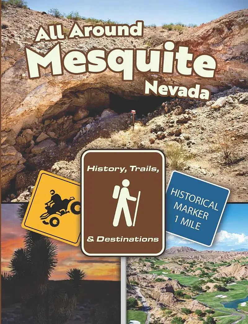
The book
Every place, with its story
The trails and destinations section of All Around Mesquite explains each place the map marks, region by region, with the history behind it.